




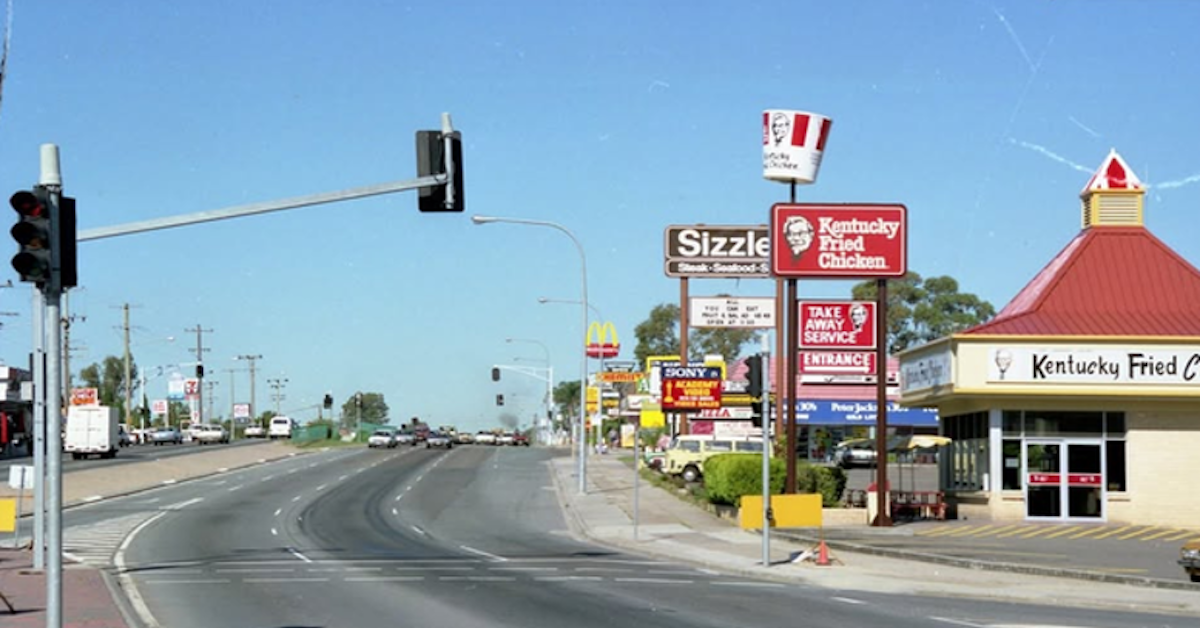
Aspley sits surprisingly close to several railway stations, yet the suburb has never had one of its own. The explanation goes back more than a century, when railways were being built through Brisbane’s north and Aspley was growing around a very different transport route.
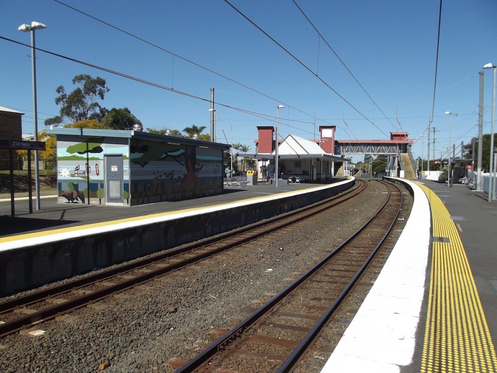
Zillmere and Carseldine have stations just east of Aspley. Geebung is nearby, while the North Coast railway continues north through Bald Hills towards Strathpine.
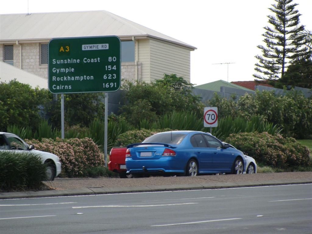
Aspley, however, grew up around Gympie Road.

That difference can be traced to the earliest development of Brisbane’s northern suburbs.
The Railway Took an Eastern Route
The first railway into Brisbane’s northern suburbs opened to Sandgate in 1882, providing a much faster connection between the city and the increasingly popular seaside destination.
A northern railway through Zillmere opened in 1888, forming part of the route that developed into the North Coast line.

By then, the basic railway corridor east of Aspley was established.
There is no clear evidence that railway planners specifically considered and rejected an Aspley station. Rather, the railway was serving destinations and following a corridor that did not pass through the district.
Aspley Grew Up Around Gympie Road
Aspley’s own transport history centred on the road running through it.


Known earlier as Little Cabbage Tree Creek, the district was largely agricultural during the 19th century. Gympie Road became an important northern route following the discovery of gold at Gympie in 1867.
The Royal Exchange Hotel, predecessor of today’s Aspley Hotel, opened beside Gympie Road in 1875, serving passing traffic as well as the surrounding farming community.
Even Aspley’s early public transport connections pointed residents towards railway stations elsewhere. Brisbane City Council’s heritage history of Aspley State School records a horse-drawn bus service between the district and Wooloowin railway station from 1886.
Later, Brisbane’s tram network travelled north along Gympie Road, eventually reaching Chermside in 1947.
But the tram never reached Aspley.
A Suburb Built in the Car Age
Aspley’s relatively late suburban boom helps explain why the absence of rail became entrenched.
The district remained largely agricultural long after railway suburbs such as Zillmere had begun developing around their transport connections.
Large-scale residential growth came much later. By then, private cars were transforming Brisbane.
Aspley’s emerging suburban landscape reflected that change. Detached houses spread across former farmland, commercial development clustered around major roads and Gympie Road became an increasingly important arterial route.
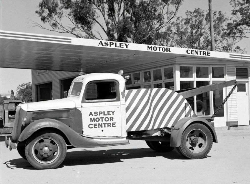
Instead of a railway station becoming the suburb’s focal point, road access helped shape modern Aspley.
Why Carseldine Has a Station — and Aspley Doesn’t
Carseldine provides an interesting comparison because its station is much newer than many people might expect.
Carseldine railway station opened in 1986.
The crucial difference was that the railway already passed through Carseldine. Adding a station there did not require construction of an entirely new railway corridor.
No railway line runs through Aspley, so providing conventional heavy rail to the suburb would be a much bigger infrastructure undertaking than simply adding another station.
There is also the long-planned North West Transport Corridor, running through Brisbane’s north-west between the Alderley and Strathpine areas. Transport and Main Roads describes its potential future role as an integrated corridor accommodating rail, road, walking and cycling.
However, it is not a funded railway project or a plan for an Aspley railway station.
For now, the map still reflects development patterns stretching back more than a century.
Zillmere grew beside the railway. Chermside eventually got the tram. Carseldine could later add a station because the tracks were already there.
Aspley grew up on the road.
Updated 17-September-2026